GeoComm and Pulsiam Partner to Streamline Emergency Dispatch Mapping
Emergency responders often lose precious seconds navigating fragmented data, but a new partnership between GeoComm and Pulsiam aims to bridge that gap. By integrating high-precision indoor and outdoor mapping directly into the SafetyNet One dispatch platform, the companies intend to provide a unified, real-time visual picture for incident management.
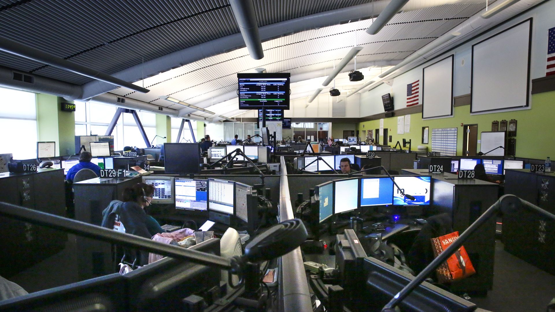
The collaboration embeds GeoComm’s location intelligence into Pulsiam’s browser-based suite, which powers computer-aided dispatch, records management, and field response operations. Rather than toggling between disparate mapping tools and dispatch screens, call takers and field personnel will now access consistent location data throughout the entire lifecycle of an emergency. This integration focuses on reducing location uncertainty, allowing dispatchers and incident commanders to visualize surroundings and identify resources with greater accuracy.
Jody Sayre, Vice President of Business Development at GeoComm, noted that the value of location data depends entirely on its accessibility within existing systems. By consolidating these functions, the companies are moving away from siloed mapping and toward a workflow where spatial context drives immediate action. Holly Blanks, Director of Global Business Development at Pulsiam, added that this technical alignment provides the necessary situational awareness for managing complex incidents effectively. The partnership aims to ensure that critical, actionable information reaches the right responders exactly when they need it, whether they are in a communications center or on the ground at an incident scene.
Comments (0)
No comments yet. Be the first!