GeoComm and SCENA Partner to Scale Indoor Mapping for Public Safety
To manage the growing complexity of large-scale facility mapping, GeoComm and SCENA have launched a strategic partnership. By combining SCENA’s national reality-capture infrastructure with GeoComm’s public safety grade GIS expertise, the collaboration aims to transform physical building data into actionable, high-precision intelligence for emergency responders and facility managers.
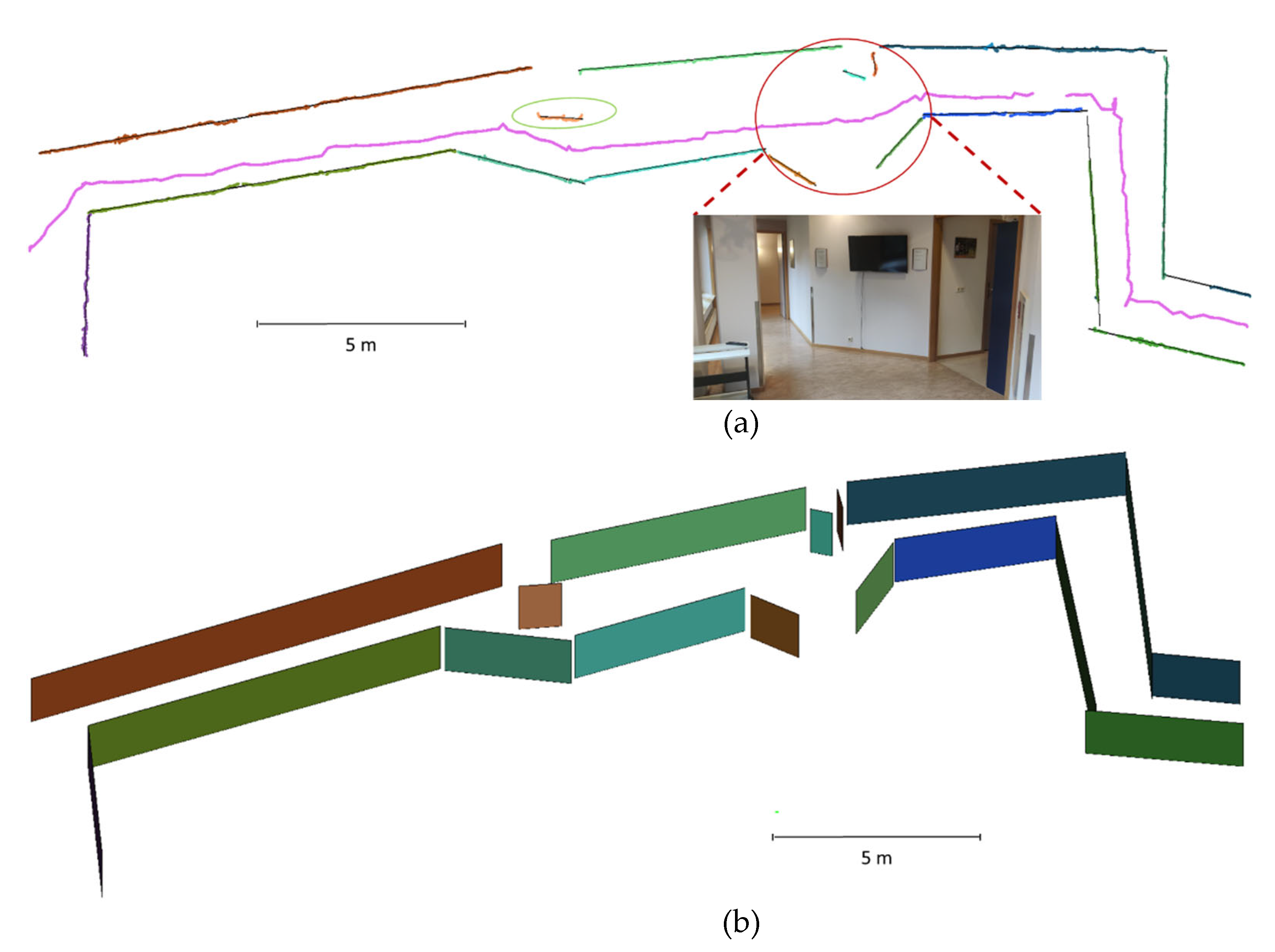
Managing indoor mapping for geographically distributed or multi-site portfolios often suffers from fragmented data and inconsistent documentation. The new alliance addresses these operational gaps by integrating SCENA’s diverse capture technologies—including LiDAR scanning, drone imagery, and Matterport digital twins—with GeoComm’s rigorous GIS standards. This workflow allows organizations to standardize building records across entire campuses or regions, ensuring that data is inherently structured for mission-critical applications.
According to Nate Ekdahl, Director of Services Strategy at GeoComm, the partnership functions as a two-way exchange designed to bolster data quality while expanding the geographic reach of their mapping services. For SCENA, which maintains 14 field offices nationwide, the move provides a direct pathway to convert raw point clouds and photogrammetry into the standardized formats required by public safety agencies. Troy Rushing, founder and CEO of SCENA, noted that the firms are already evaluating the integration of this data into immersive digital twins, potentially allowing first responders to familiarize themselves with building layouts before arriving on the scene.
Comments (0)
No comments yet. Be the first!