GeoComm Automates Indoor Mapping for Emergency Response
Reducing indoor search times by 30 to 90 seconds can be the difference between a successful intervention and a tragedy. GeoComm is addressing this gap with its new Map Converter, a tool designed to transform static floorplans into actionable, GIS-ready indoor data for high-stakes environments.
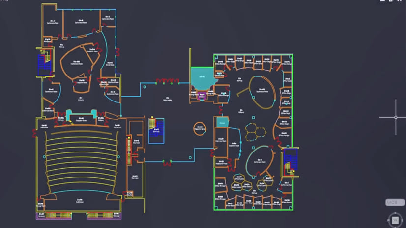
Many organizations remain tethered to static PDFs and manual drawing updates, creating a bottleneck that hinders coordination during emergencies. GeoComm’s new platform automates this transition, converting vector PDF, DWG, and DXF files into structured indoor maps. By streamlining these workflows, the company aims to move beyond simple blueprints toward interoperable intelligence that integrates directly with Esri and open GIS standards.
TJ Kennedy, President and CEO of GeoComm, emphasized that responders require more than just a floorplan; they need precise location data that functions within existing emergency response systems. The software is built to support critical infrastructure, healthcare facilities, and school safety teams, allowing them to modernize their mapping capabilities without the need for intensive, specialized manual labor. This approach reflects three decades of mission-critical expertise, focusing on the necessity of high-quality, reliable data when seconds determine response outcomes.
Comments (0)
No comments yet. Be the first!