Nearmap Expands High-Resolution Aerial Coverage to 97% of U.S. Population
With the launch of Nearmap Reach, the Salt Lake City-based property intelligence firm is pushing its high-resolution aerial imaging and AI analysis to cover 97% of the American population. The initiative leverages the company’s next-generation HyperCamera4 technology to provide consistent, annual property insights across a vastly expanded geographic footprint.
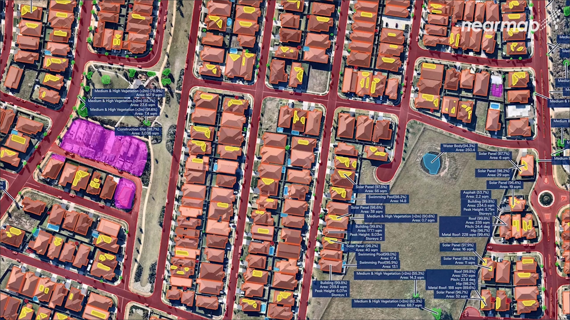
Nearmap Reach marks a significant shift in the company’s service model, extending its reach beyond metropolitan centers to encompass 95% of all U.S. buildings. While the existing Nearmap Core program will continue to refresh urban areas up to three times annually, Reach introduces a standardized 4cm resolution capture that will be updated every year. This integration aims to provide insurers, government agencies, and AECO firms with a unified data set, allowing them to assess risk and evaluate properties with greater consistency across entire portfolios.
Driving this expansion is the HyperCamera4 system, an AI-optimized instrument designed to balance high-resolution imagery with broader coverage scales. According to CEO Andy Watt, the move addresses a rising demand for property intelligence that functions across wider, less dense markets. The company plans to initiate capture operations in January 2027, with the new data flowing through existing delivery channels to ensure that the expanded imagery and 130+ AI layers integrate seamlessly into current user workflows.
Comments (0)
No comments yet. Be the first!